Book
Book 


Aeroclub – Altiport Méribel
Contact
Services
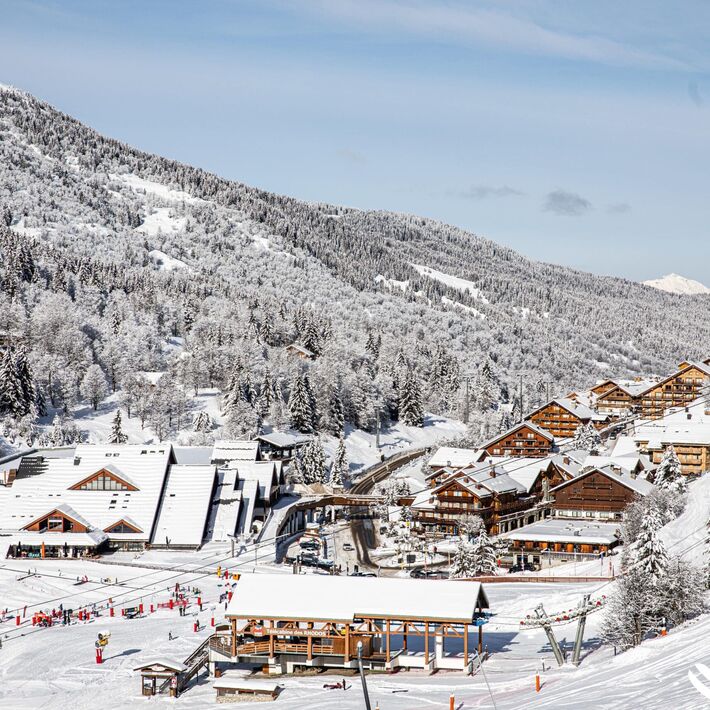
Location
Additional location Start from the top of "Rhodos" gondola In order to help you : take the "Méribel resort map" starting points are indicated more precisely by orange arrows as well as the winter footpath map
Information updated on 09/25/2025.